The Bikunibashi Bridge was the first bridge to cross the river Kebasigawa, which flowed from the Outer Ditch in the east of the Edodze Castle. First, the word “Bikuni” denoted
The Bikunibashi Bridge was the first bridge to cross the river Kebasigawa, which flowed from the Outer Ditch in the east of the Edodze Castle. First, the word “Bikuni” denoted
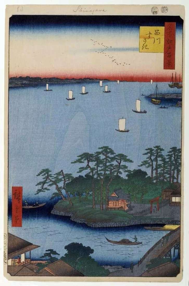
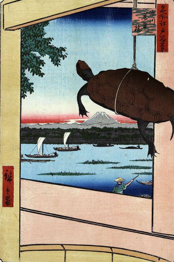
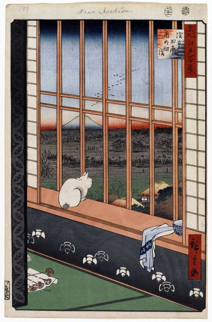
Before, Sinagawa was a small port city. But in the Edo period, Sinagawa became the first station on the Tokaido road. In the days of Hiroshige, there was a custom
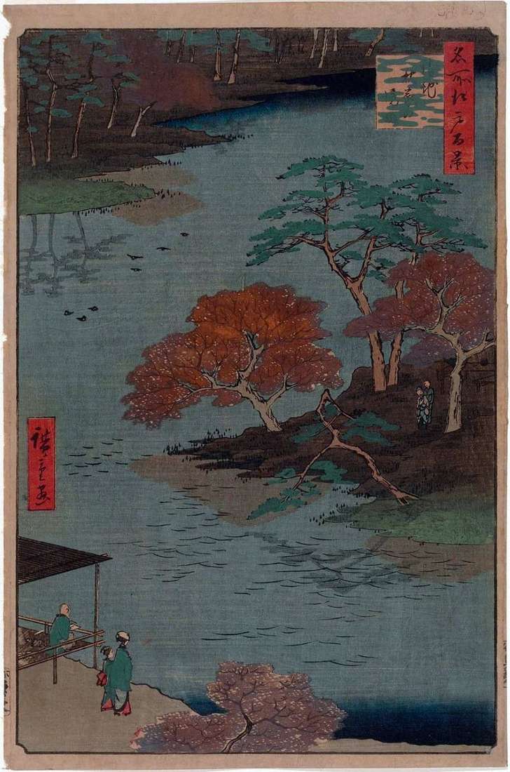
The section of the river Syakudzigawa, flowing near the Shinto shrine of Lodz Gongen, was named Otonasigawa. The Lodz Gongen shrine was built in the wake of Kumano Gongen in
During the Edo period, it was possible to get to the Esivara quarter only by water, turning from Sumidagawa to the Sanyaabori Canal, and then, having landed on the shore,
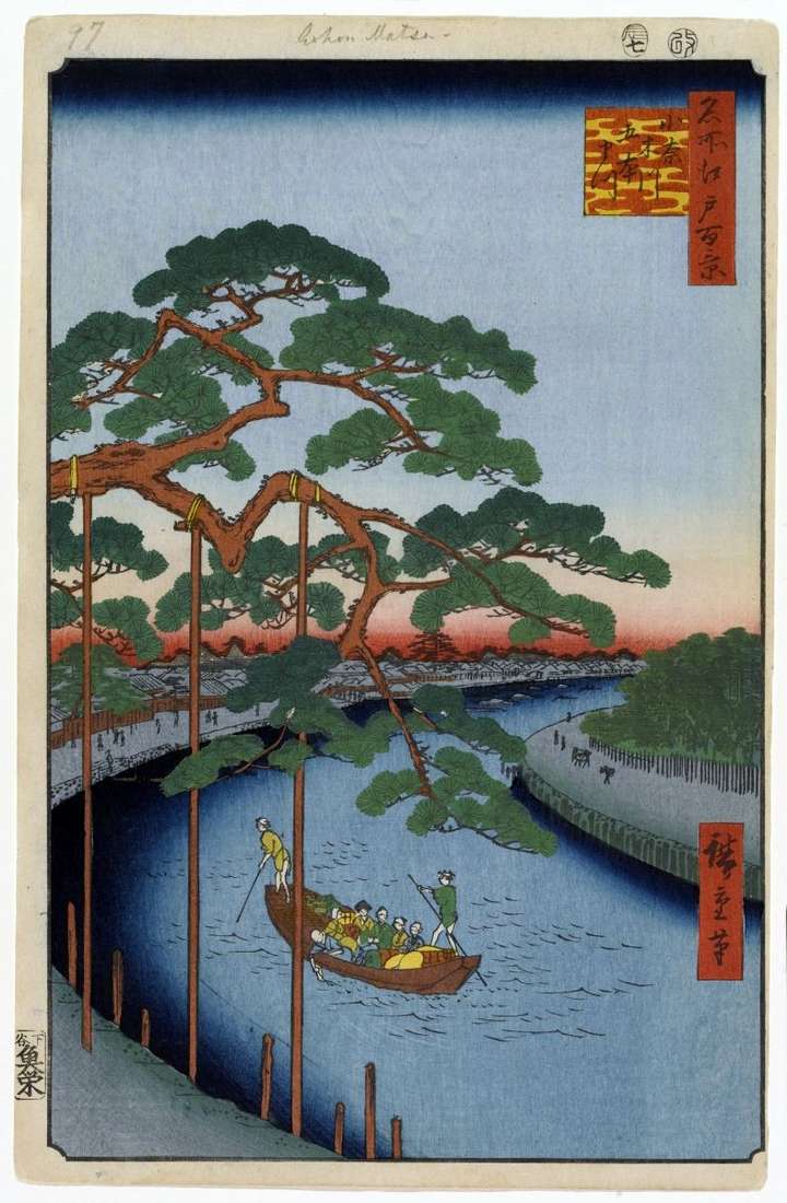
Once on the banks of the Onagigawa Canal five pines grew, but by the time of creation of this engraving, only one pine had survived, which Hiroshige depicted. Although the
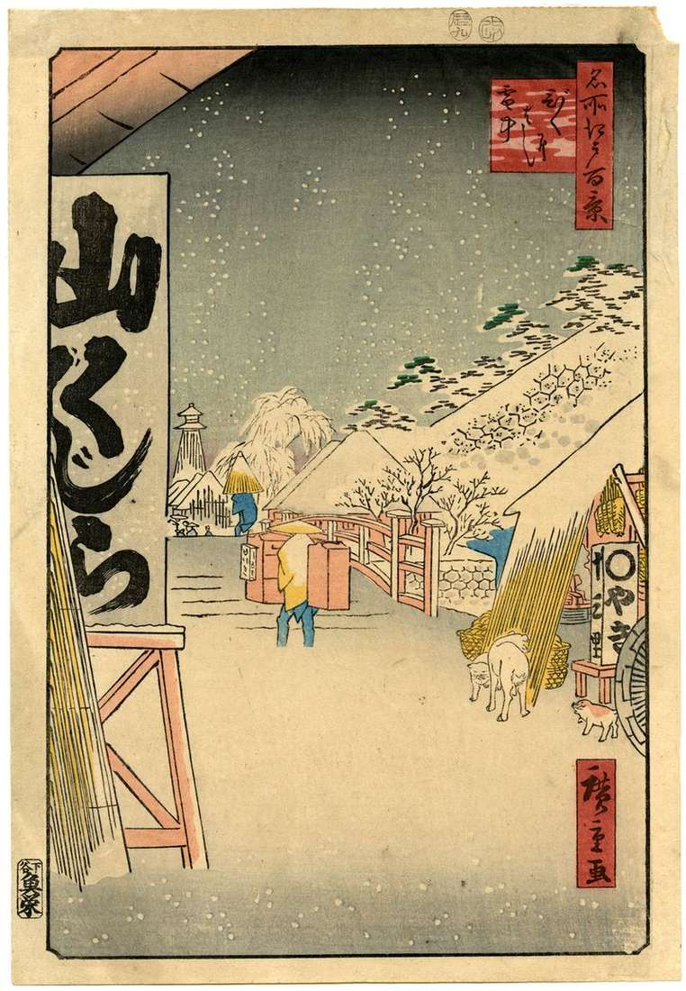
In the early 1730s, during the reign of the eighth Shogun Yoshimune across Japan, famine raged, cholera spread, and more than a million people died. Bakufu ordered to organize a
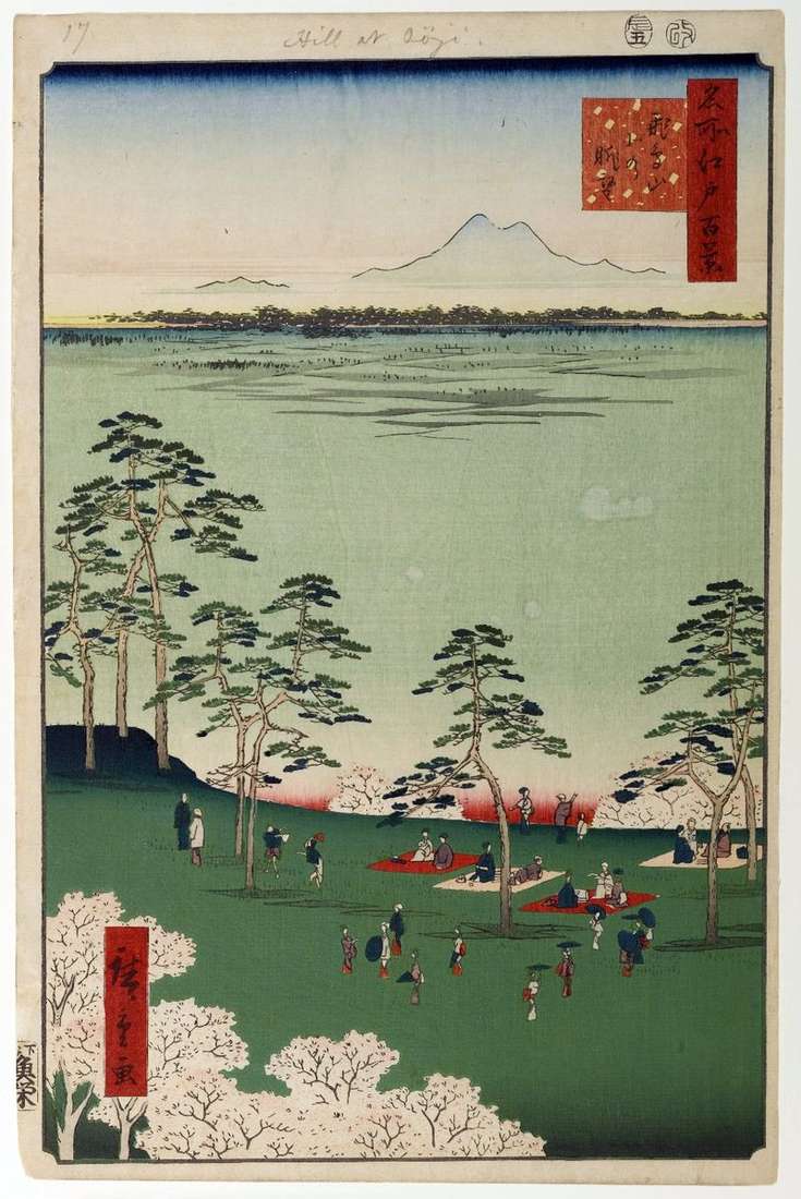
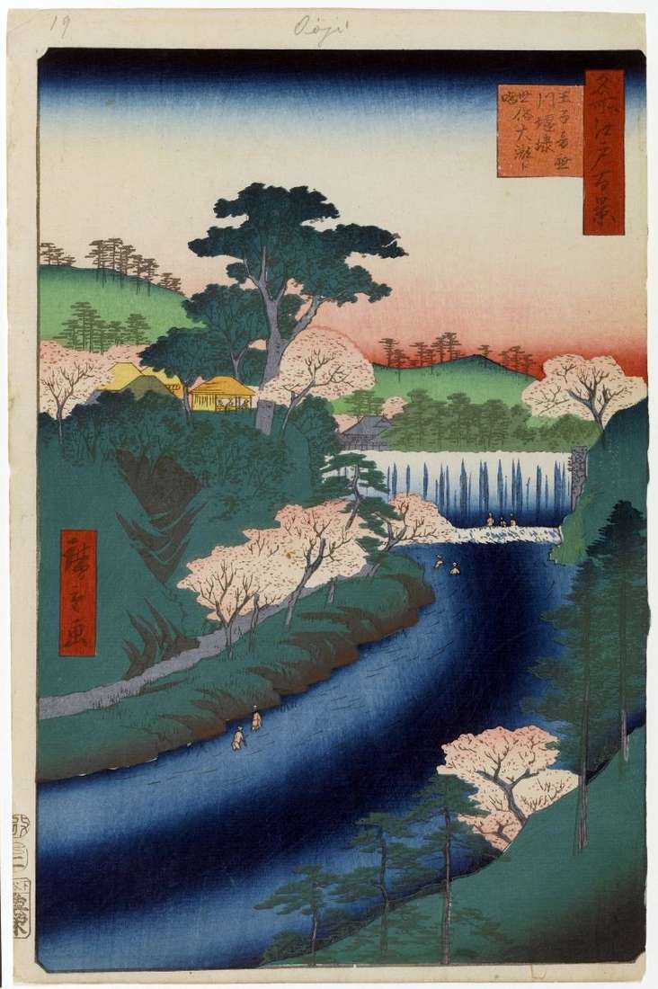
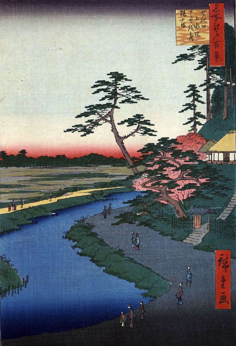
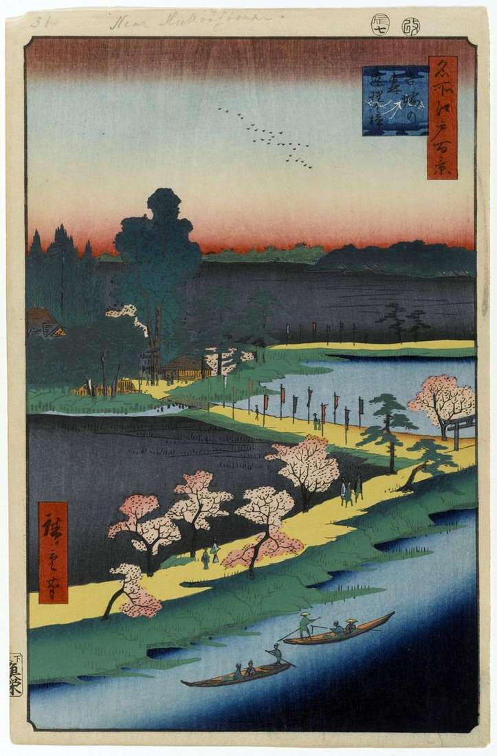
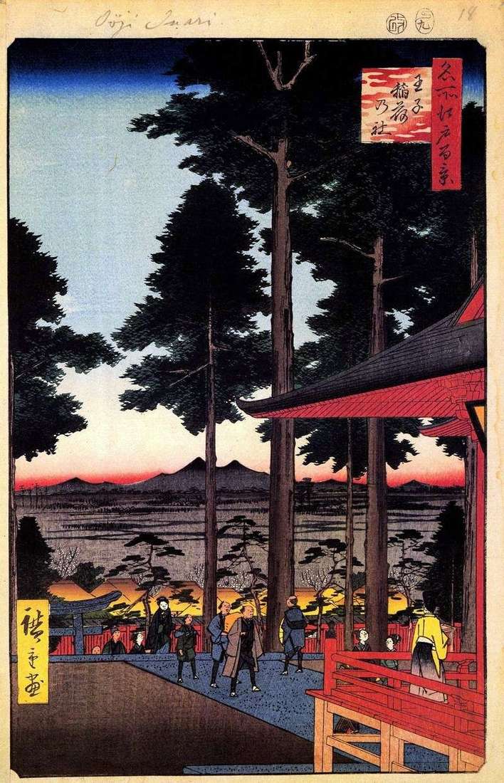
Asukayama Mountain was one of the popular places of the townspeople, where they were sent in the early spring for the khans – admiring the blooming cherry blossom. The mountain
Until the middle of the 17th century, the area of Susaki in the east of Fukugawa was under the waters of the Gulf. In 1659, Sunamura Sindzaemon from Osaka drained
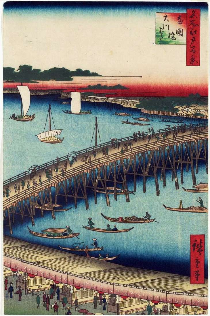
After a major fire “Nakasode”, which occurred in 1657, one of the main bridges of the Eastern capital – “Ohashi” was built. But the name of Regokubashi, the Bridge of
In the center of the engraving is the largest canal of Kanda-Dziuyu, which was built by order of Bakufu to provide the capital with drinking water. It originated in the
“Fukagawa” is the name of the area on the southeast edge of Edo. At the junction of the Onagigawa Canal with the Sumidagawa River stood a bridge called Mannenbashi, which
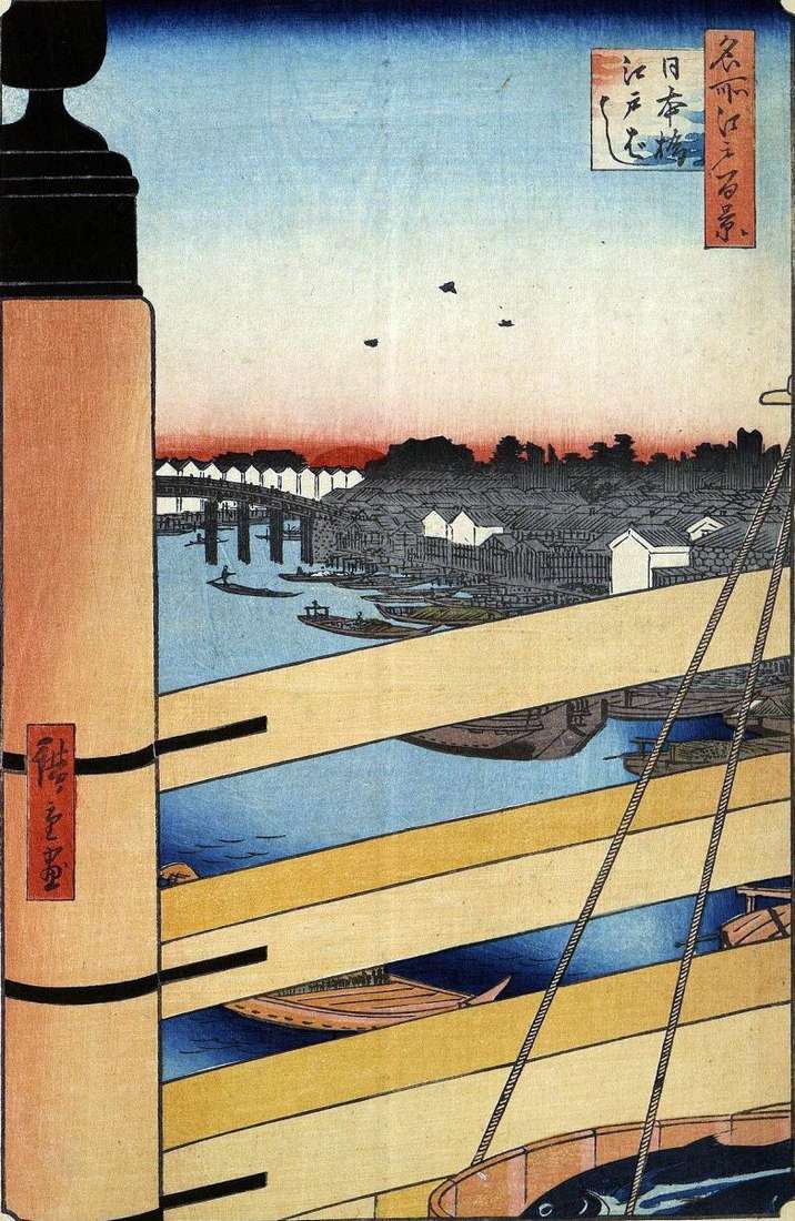
This is the first engraving of thirty, dedicated to the summer season. Like the spring series, the summer begins with the image of the Nihonbashi bridge. This engraving shows the
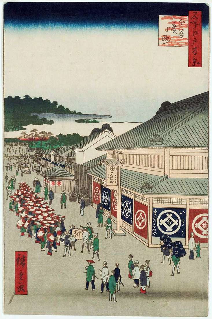
The name Sitaia came from the location of this place by the Ueno hill. Here passed the road Sitayahirokokzi, along which the shogun came to the temple of Kanailzi. After
Hiroshige depicted the territory of the sanctuary Akiba-digongensya in the village of Ukietimura. It was built on the donation of the lime Honda in 1702. The shrine is dedicated to
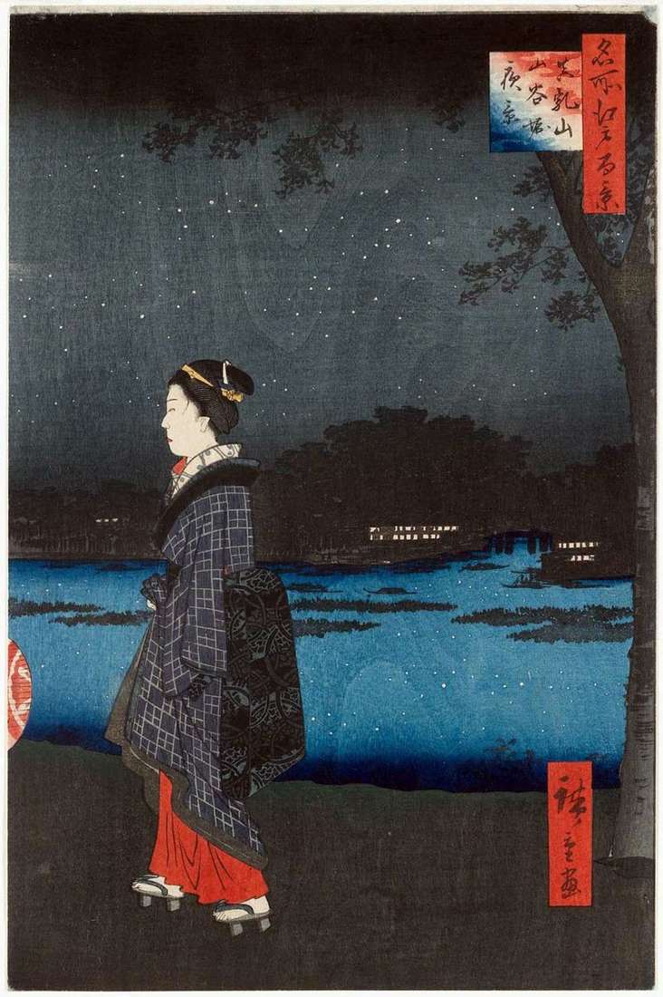
In the Hiroshige engraving, the viewer can see the road along the Dzikkengava Canal, leading to the Shinto Sanctuary of Azuma-no Mori, in front of which there are the stone
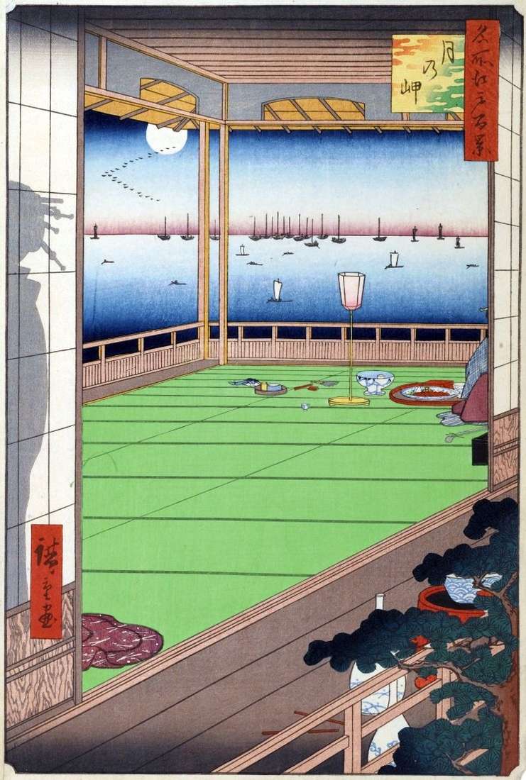
This engraving is among the few in the series in which accurate terrain determination is impossible. The view of the Edo Gulf plays a secondary role in engraving, the author’s
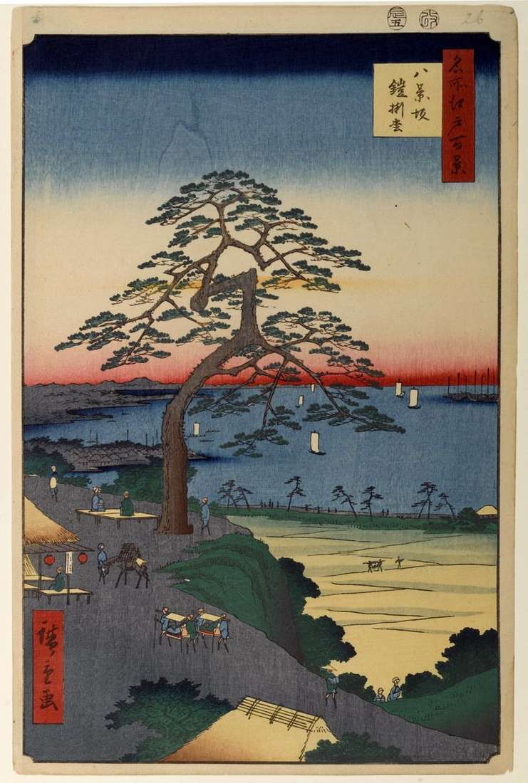
In this engraving, Hiroshige shows the distant environs of Edo – the area of Hakkeizak. A beautiful view of the bay opens from the slope of Hakkeizak – Slope Eight
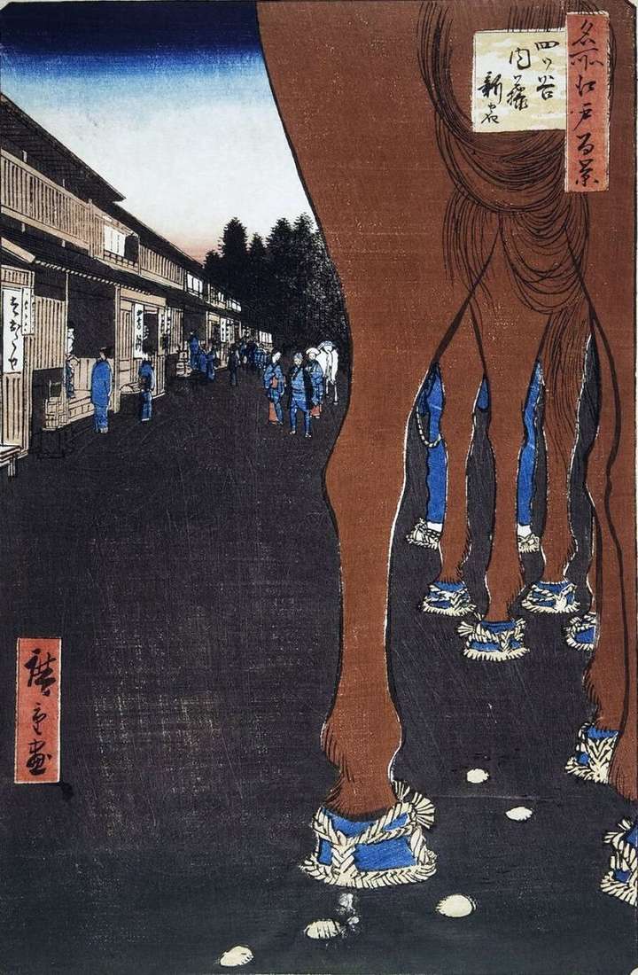
Further from the gate of Yetsuyu, on the Kosykaido tract there was a western outpost of Edo Yetsuyu Okido, even further from the outpost was the first station on this
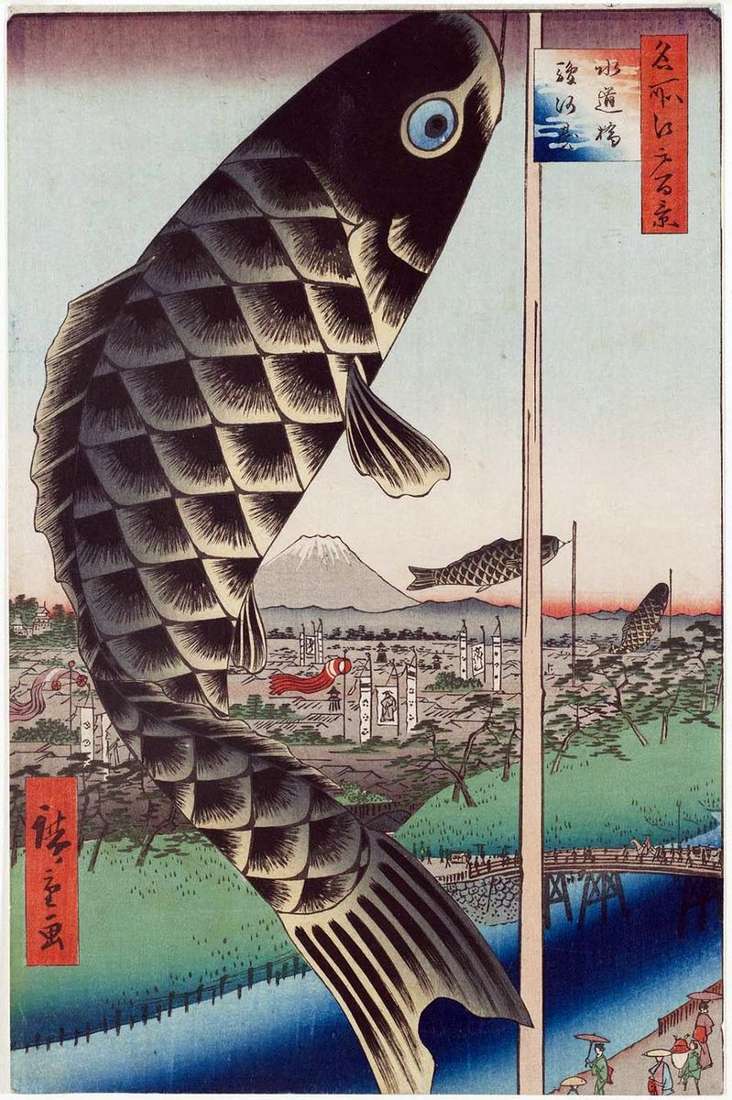
In this engraving, the Kandagawa River and Suidobashi Bridge are visible. The source of the river was the excess water of the Kanda Canal from the Airazutsumi Dam in Sekiguchi.
Before the viewer, the same distant view of the two-headed Pukubayama mountain unfolds, but somewhat from a different angle. Hiroshige portrayed another Asukayama slope, where the ancient Shinto shrine of
In the south-west of the Esivara quarter, among the rice paddies was the shrine of Vasidzinja, in which the deity in the form of an eagle was worshiped. One of