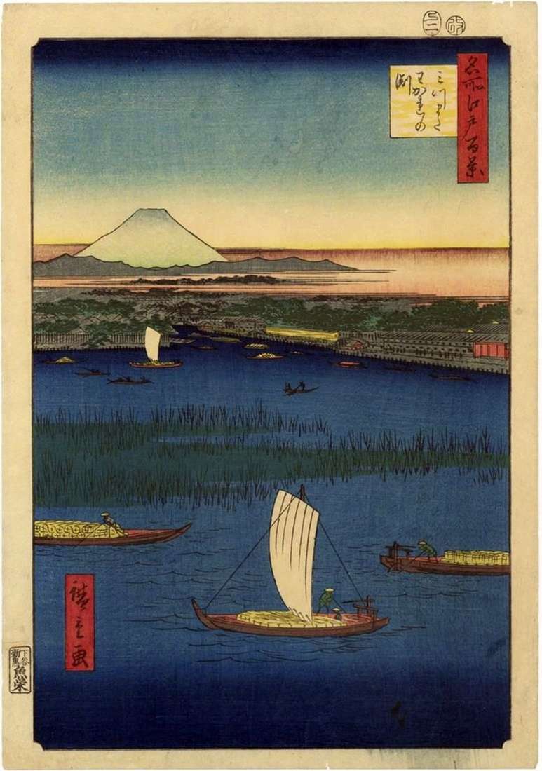
Not far from the Mannenbasi Bridge, in the lower reaches of the Sumidagawa River, the Hakozakagawa Channel separated from its main channel. At the intersection of the two arms of the river, the island of Hakozaki was formed. Behind this terrain, the name Mizumata – “fork” – was fixed. Its other name is Vakarenofunti, because there were passages of fresh and salt water that appeared in the river during the tide in the Edo Gulf.
Not far from Hakozaki, near the Sin-Ohashi Bridge, there were bulk lands of Nakadzak, which housed one of the popular entertainment districts in Edo. Here, restaurants, tea shops, entertainment establishments flourished. But in 1789, on the orders of Shogun Matsudaira Sadanobu, the shoal was razed and turned into a channel again. Hiroshige depicts the place where Nakazaka was, in the foreground of the engraving. On the right, on the island of Hakozaki were the daimyo mansions. One of them, with a red gate, cut off the edge of the sheet, belonged to the Governor Bityu-no Kami named Hota.
In the background, Fuji rises, with a black peak and white slopes. More complex in the second version is the color of stylized fogs at the foot of Fuji. A bright yellow strip near the horizon becomes scarlet. The strip of bokasi in the later sheet passes along the bottom edge.
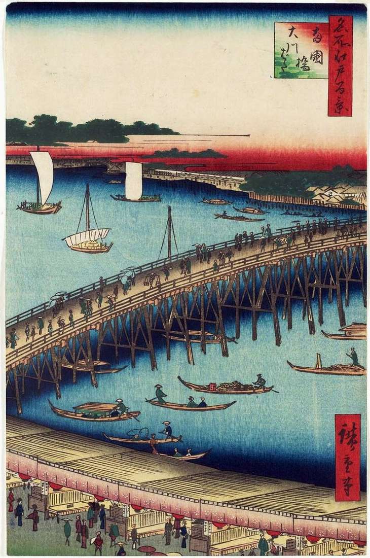 The Regokubasi Bridge and the Okavabat Quay by Utagawa Hiroshige
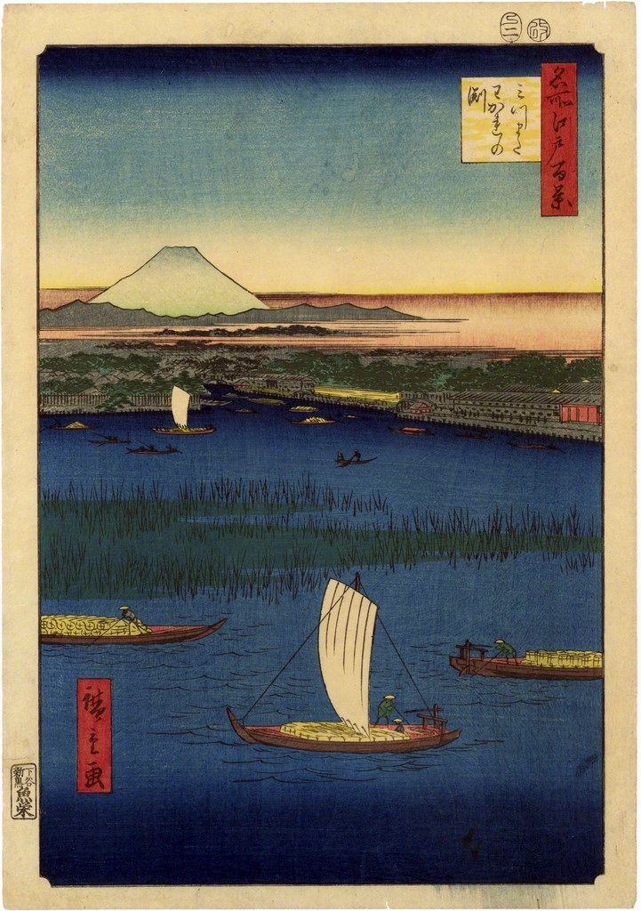 Les conduits à Mitsumata. Wakare Nofunti – Utagawa Hiroshige
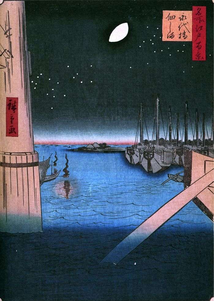 Tsukudajima Island from the Eitaibashi Bridge by Utagawa Hiroshige
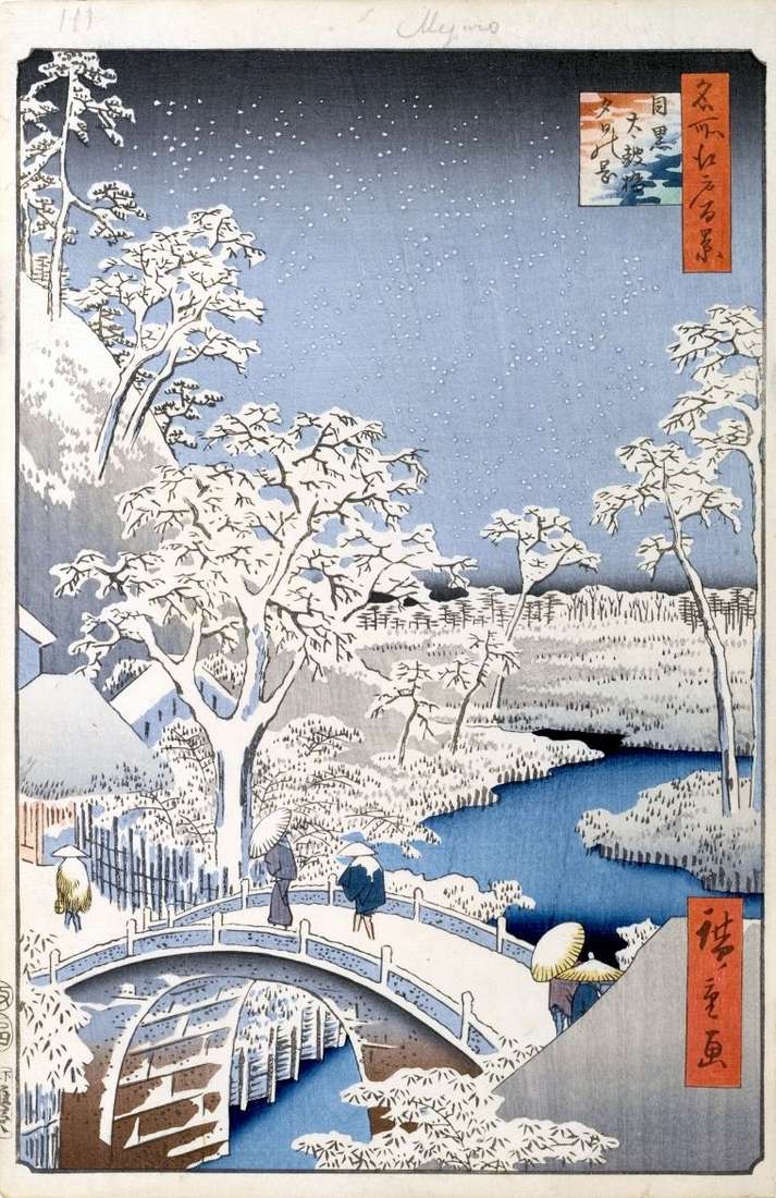 Yuhinooka hill and Taykobashi bridge in Meguro by Utagawa Hiroshige
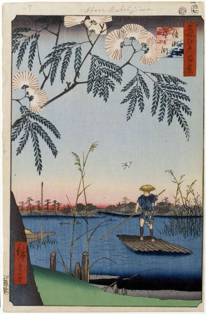 The Ayasagawa River, “The Bell’s Bell” by Utagawa Hiroshige
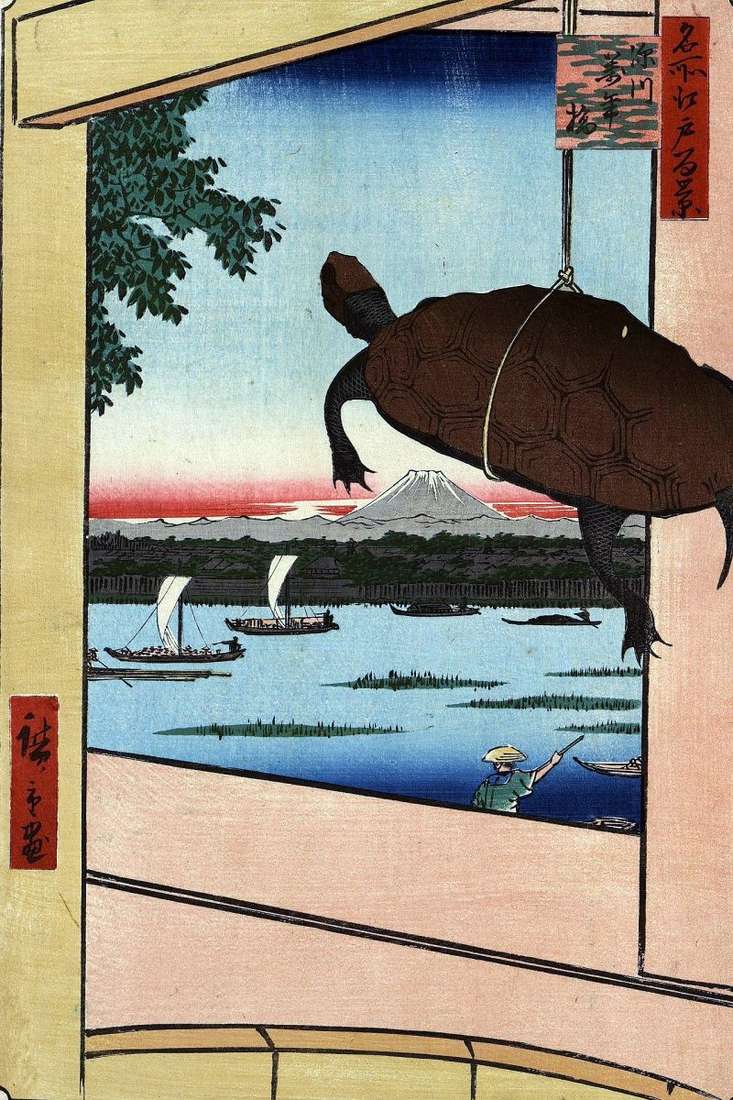 Mannambasi Bridge in Fukagawa by Utagawa Hiroshige
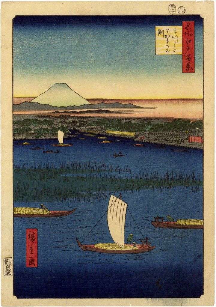 Los conductos en mitsumata. Wakare-nofunti – Utagawa Hiroshige
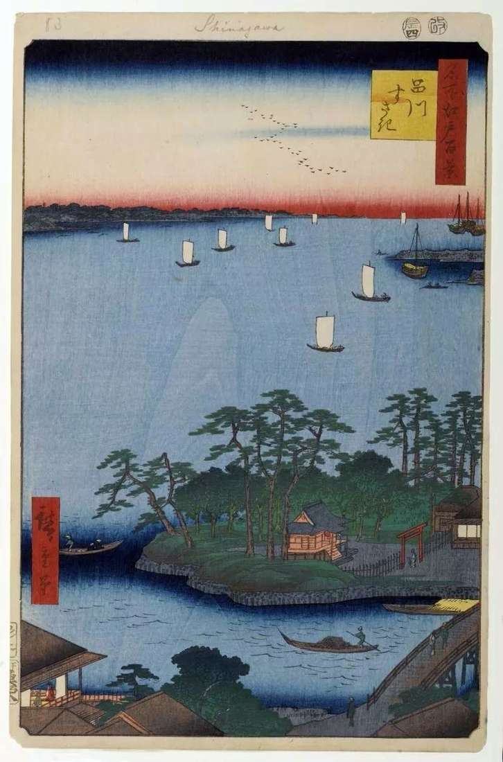 Sifting in Susaki by Utagawa Hiroshige